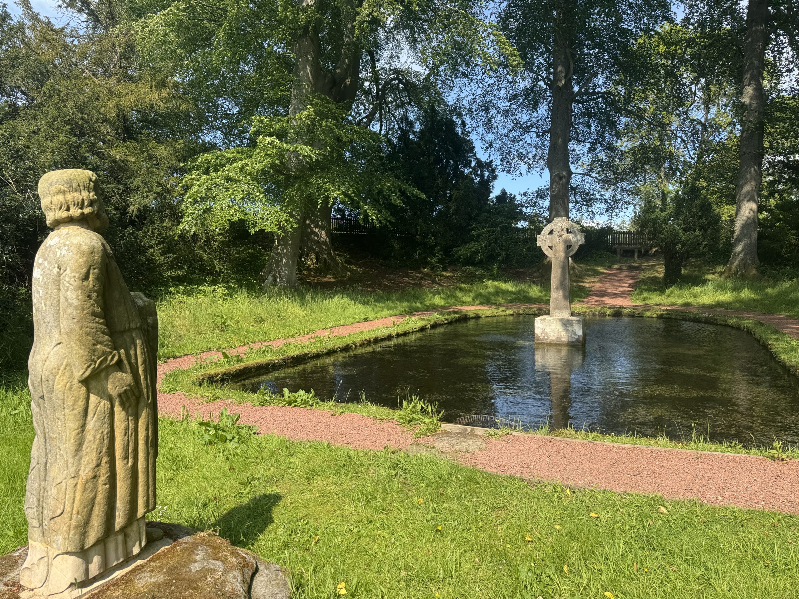
The information on this page supplements the material to be found in Chapter 6 of the book Northumberland’s Pilgrim Routes
The Holystone Way was developed as part of Pilgrim Ways, an initiative by Phil McCarthy designed to link each Catholic Cathedral with a holy shrine within that diocese. The official site is here.
Download a map of the route and follow it on your phone
You can also download the map from here.
Should you choose to follow the route outlined below, please be aware of the following disclaimer
Disclaimer
You discharge the author, and Amberley, or any associated individual concerned, of all liability for any injuries caused by or in any way related to your decision to walk any of these routes.
If you have the OS maps app, you can download the route here
Click on the white arrow in the middle of the map above
You will see a run-through of the route and, once done, the ‘expand to fill’ icon top right will go white
To follow the map without downloading…
Click the arrow icon at bottom right on the map
This finds your location, and enables you to see where you are on the route.
NOTE If you are not on the route (eg at home before you set out) then the map display will adjust to your current location. You need to be at the start of the route, or at some point on it, for navigation along it to be possible by this method.
It’s much better to download the map to your phone.
To download the route and follow it on your phone…
Click on the dropdown menu (at top right) and select the ‘download’ option from the list
On the screen that opens you are given options on tailoring your download. Make any adjustments you want and then…
Click the orange ‘download’ button.
Choose the option ‘Save to files’
You will be asked which app you want to open it in.
Options will be presented to you, but you have to click on ‘…’ at the end of the row to find the app you want. Clicking here brings up a list of all the apps on your phone, and you can select the one you want.
Among the many map reading apps are OS (The Ordnance Survey), which I use in the subscription version, OpenStreetMap and Komoot.
Follow the instructions in your chosen app to save and follow the route.